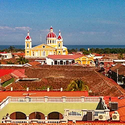
Corn Island
Corn Island one of the tourist wonders of Nicaragua
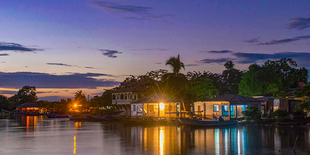
The municipality of Corn Island belongs to the Autonomous Region of the South Caribbean Coast and is divided into two small islands, with a total area of just nine square kilometers, with an estimated 7,500 inhabitants.
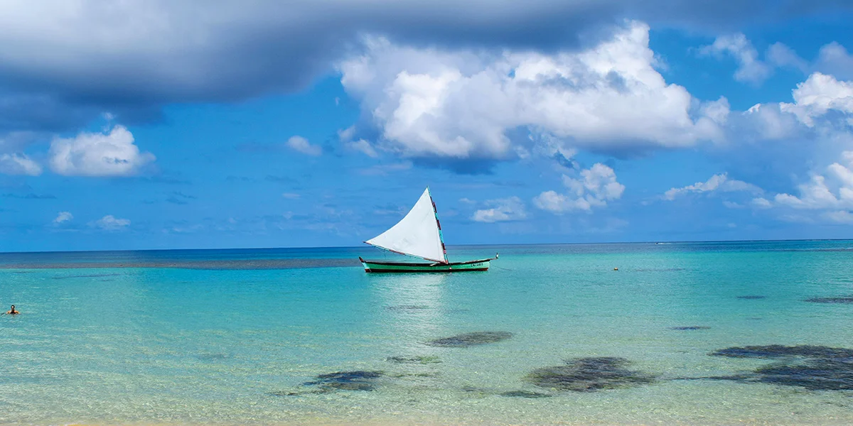
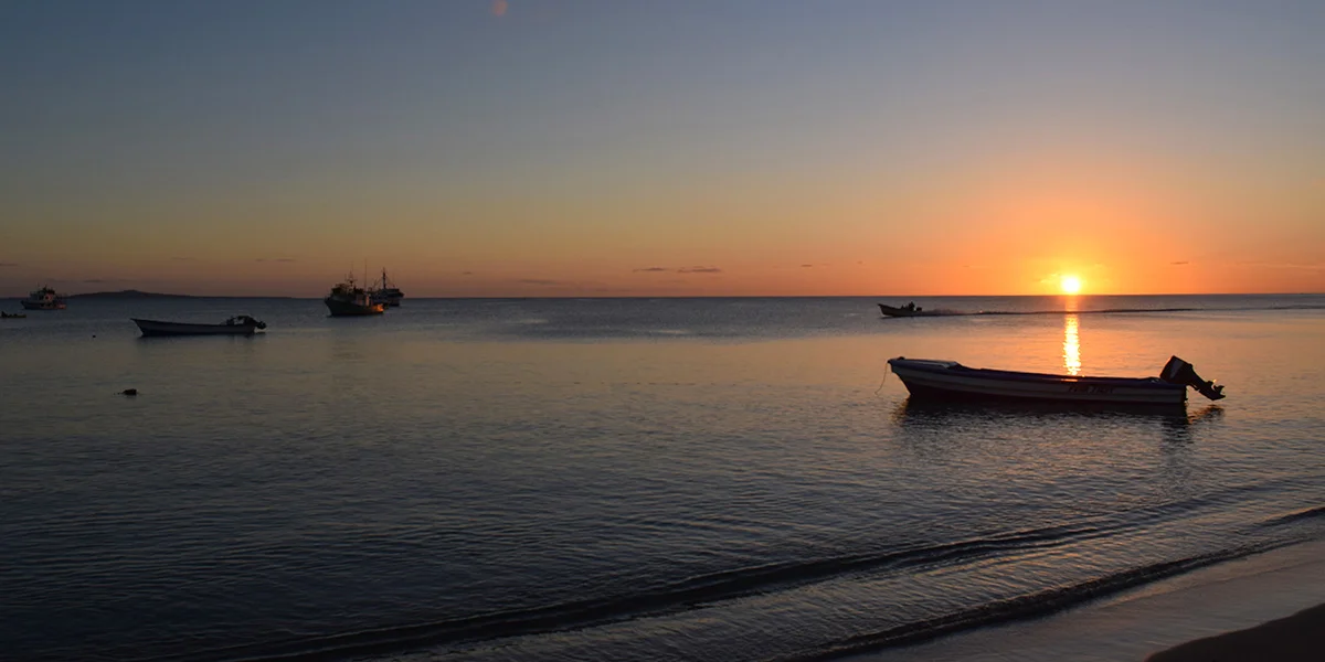
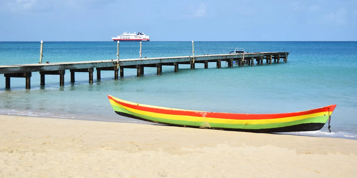
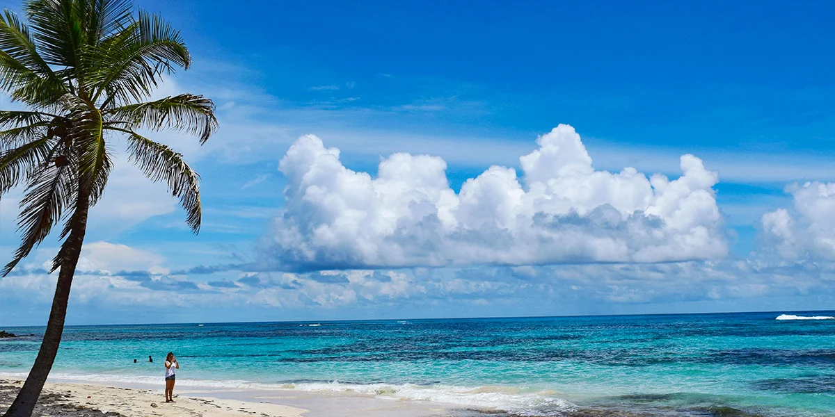
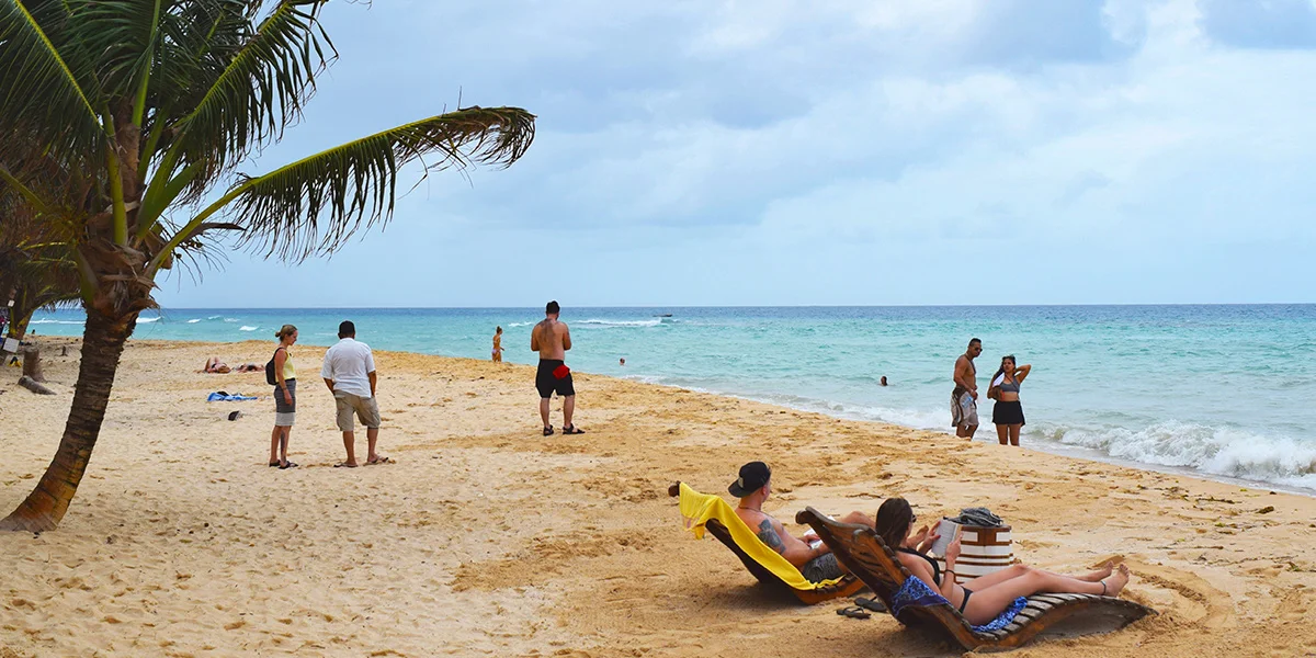
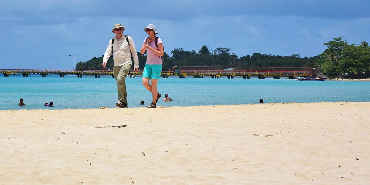
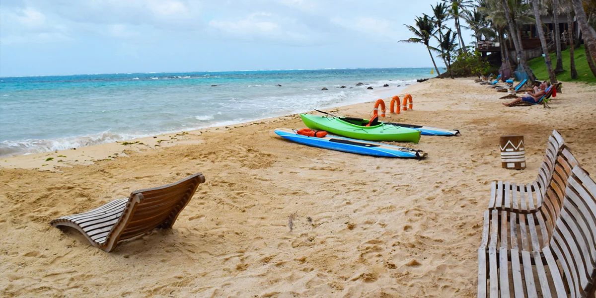
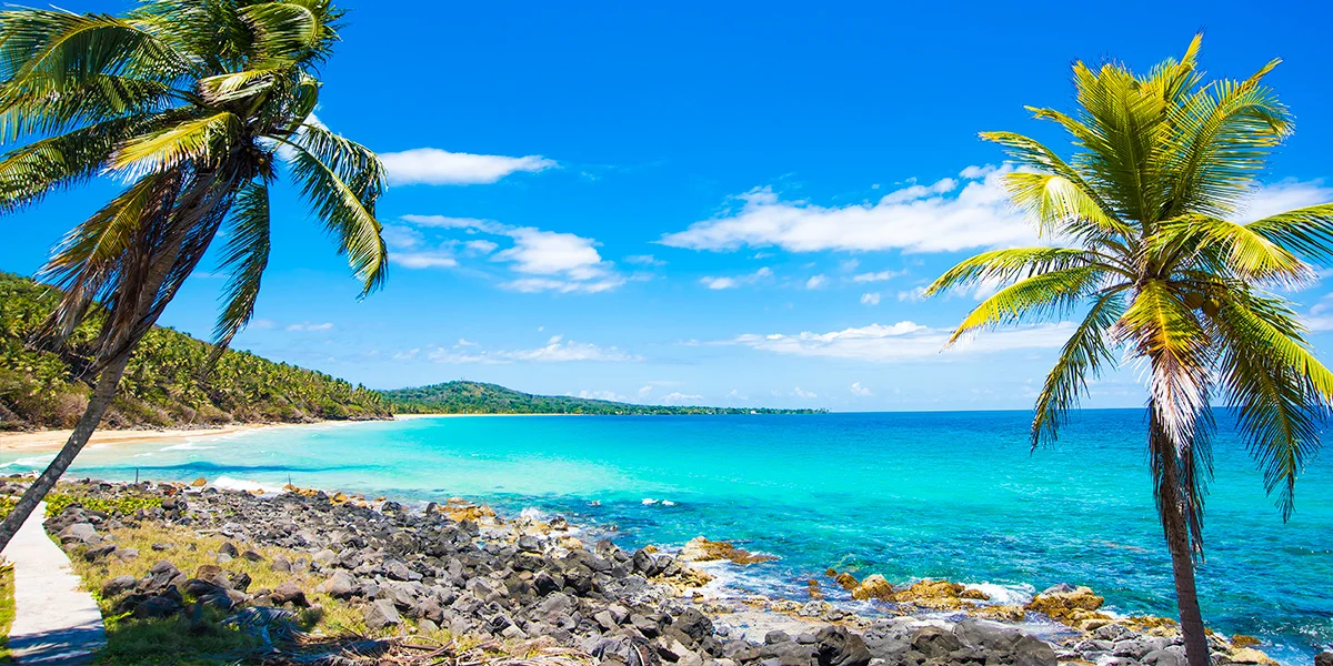
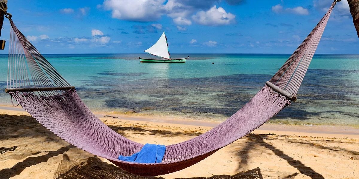
Corn Island is part of the Nicaraguan Caribbean and one of the tourists wonders of Nicaragua for its white sand beaches, turquoise waters and warm weather. The largest island has a series of extensive and wide beaches where you can practice swimming, diving, snorkeling and take photos of the local marine fauna, for which you can hire the services of diving experts who operate on the island.
The beaches of Corn Island have the characteristic of being crystal clear and calm during most of the year. Among its main ones are Long Bay, Sally Peachie, North End and South West Bay and Blowing Rock, this is located to the south of the big island, it is an ideal place for diving due to the wealth of marine life it possesses.
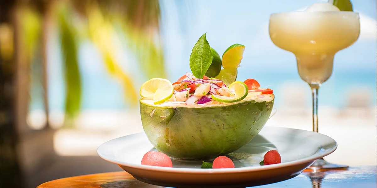
The small island is surrounded by an extensive coral reef that can be seen with the naked eye at three meters. It is also a destination conducive to rest and relaxation. There are no vehicles that use fuel to get around, so the air you breathe is completely clean. The inhabitants of Corn Island also have coconut as the basis of their diet. For example, for the preparation of gallopinto they use coconut oil, as well as for the preparation of crab soup and coconut bread. The best known dish of the inhabitants of this municipality is rundown and crab soup.
The story goes that on August 27, 1941, by order of Queen Victoria, the act of the abolition of slavery was read and to celebrate the inhabitants of that time they prepared crab soup, which is what is currently done to commemorate that day. every August 27. To remember that date, the inhabitants of the Isla Grande del Maíz carry out various sports, recreational, festive and entertainment activities in which even the tourists who visit Corn Island participate on that date.
To get to Corn Island you can do it by plane from Managua or by sea from Bluefields.
World soul vertex: It has a great concentration of energy. We are connected with 7 more vertices, Hawaii, Bayca, Galacia, Calahari, New Zealand, Isla del Coco in Australia, Tierra del Fuego and Corn Island. The earth is a living being and it manifests itself in earthquakes, volcanic eruptions, natural disasters. It is located on Queen Hill and can be photographed and accessed by water and land.
Woula Point Beach: White sand beach, suitable for diving and snorkeling. Located in the south east part of the island.
North End Beach: White sand beach, suitable for snorkeling and diving. Located in the north east part of the island.
Sally Peachie: A combination of beach and reefs, suitable for swimming, snorkeling and photography. It is accessed by water or land.
Silver Sand: White sands, crystal clear waters, suitable for snorkeling and diving. Located in the southern part of the island. It can be accessed by land or water.
Long Bay South End Beach: It is the longest beach on the entire Island, suitable for playing beach games, diving, lunada and bonfires. Land or water access route.
South West Bay Beach: South West Bay is the longest beach on Corn Island, with a length of 1.8km and a width of approximately 40m; with white sands and crystal clear waters, it is characterized mainly by having calm waters throughout the year as it is located in the opposite sector to the orientation of the winds.
Blowing Rock: Of volcanic origin, considered one of the best dive sites in Central America with a wealth of extraordinary marine life and the best aquatic photographs. It is located in the eastern part of the island. It is only accessible by water.
NACO: Old iron steam ship. Wealth of marine life, coming from Scotland, due to the appearance of a block of mud. Located in the northern part of the island. It can be reached by water or land.
Tomb of the Slaves: Place where some of the slaves that existed on the island more than 173 years ago were buried.
Slave Wall: Wall made by the slaves who inhabited the island more than 173 years ago, located in the southern part of the island. Sunken Galeon Cannons: 18 cannons and 1 anchor found at a very accessible depth of 4m, this dates back over 400 years. They are located in the Brig Bay Park, where you can take pictures.
Oldest well: It is the oldest well on the island, historically where all the people of the hill went down to consume the water, a contribution that historically the buccaneers were supplied with water for their consumption. It is located in the southeastern part of the island.
GEOPOSICIÓN
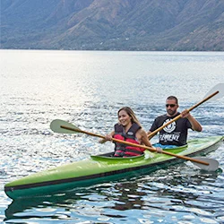
Lake Coatepeque
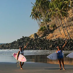
Playa Las Flores
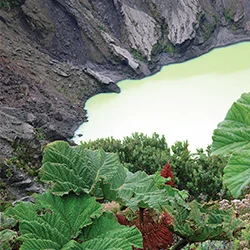
Irazú Volcano
RECOMMENDED TOURS
The Archaeologist
Discover Antigua Guatemala and the most important Mayan sites of Guatemala, Honduras and Belize.
Colonial, colorful and traditional
Enjoy Nicaragua, El Salvador, and Honduras natural wonders, cultural richness, and Mayan archaeology.
Nicaragua, Costa Rica and Panama
An exceptional trip across nature and colonial remains in these three countries
Colorful Central America
Travel Central America from North to South
Grayline Costa Rica and Nicaragua
Culture and nature surround you in this tour across Costa Rica and Nicaragua where you will get to know the most emblematic sites and will enjoy the Pacific Ocean.
